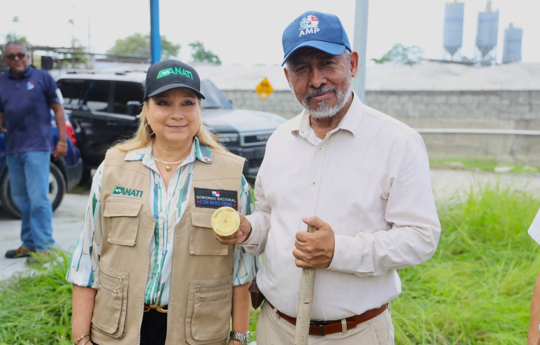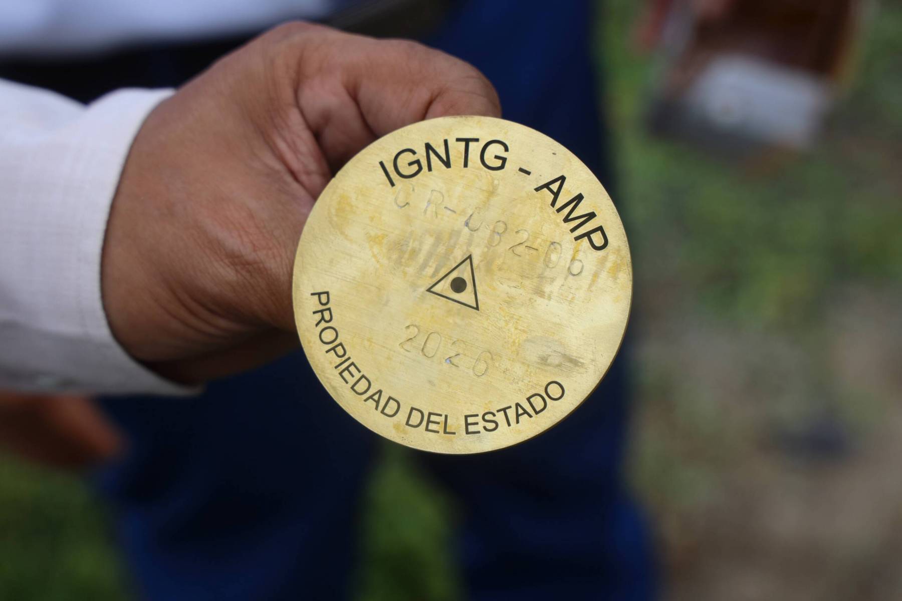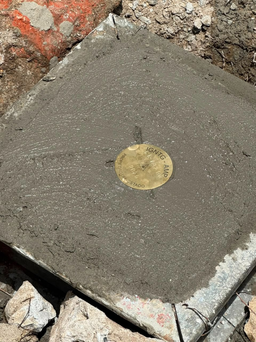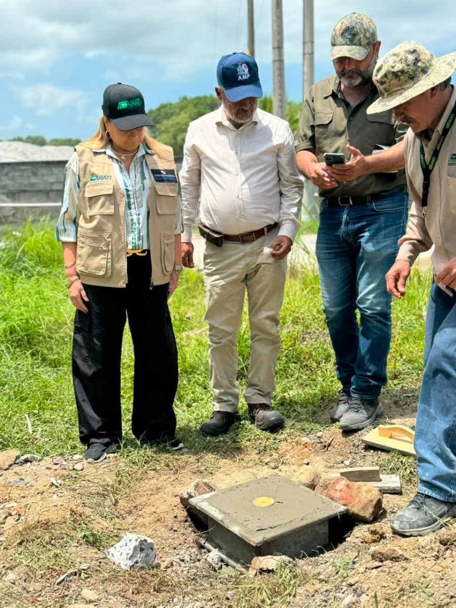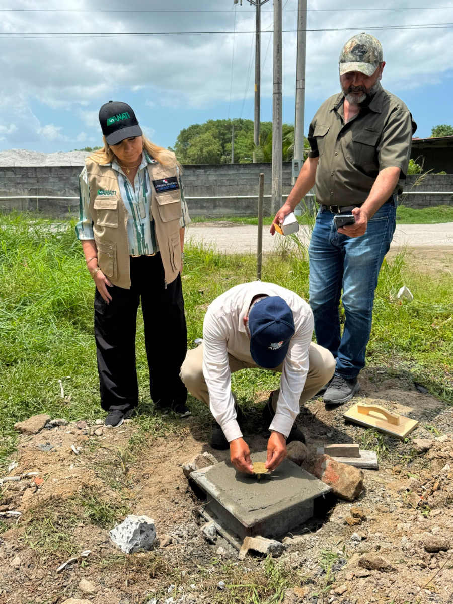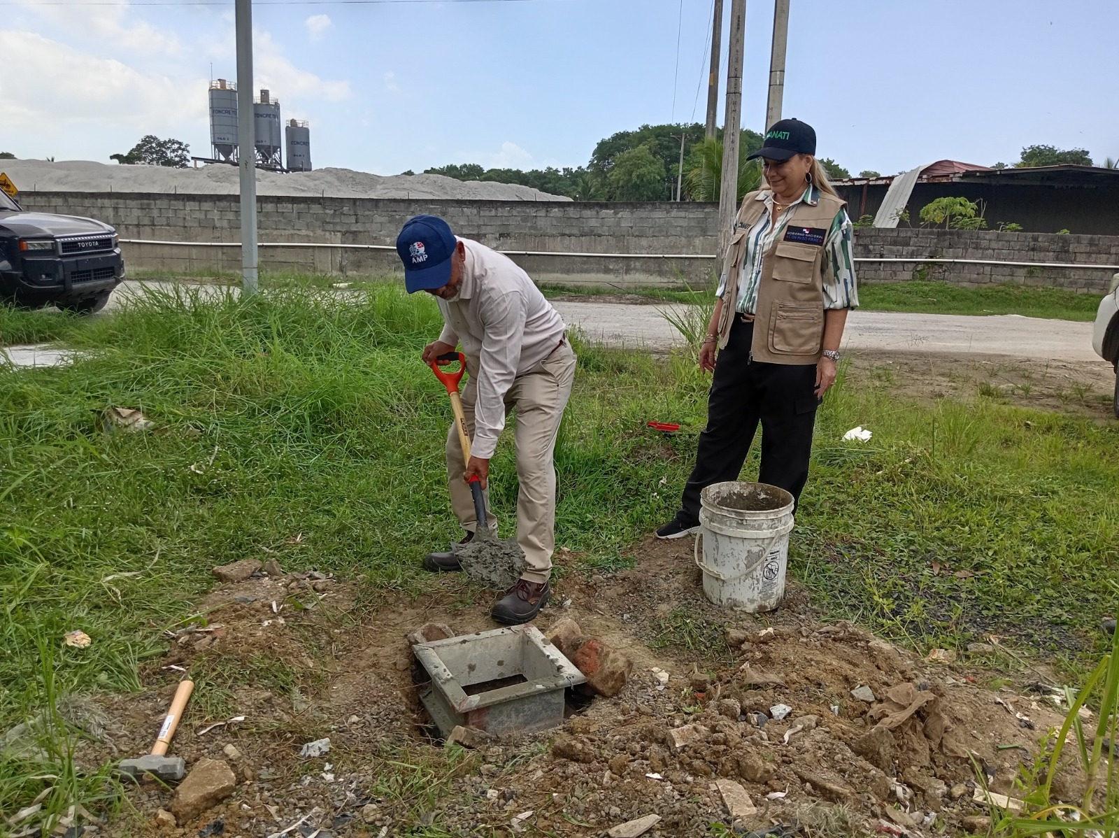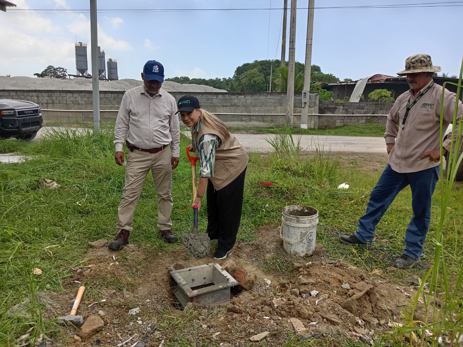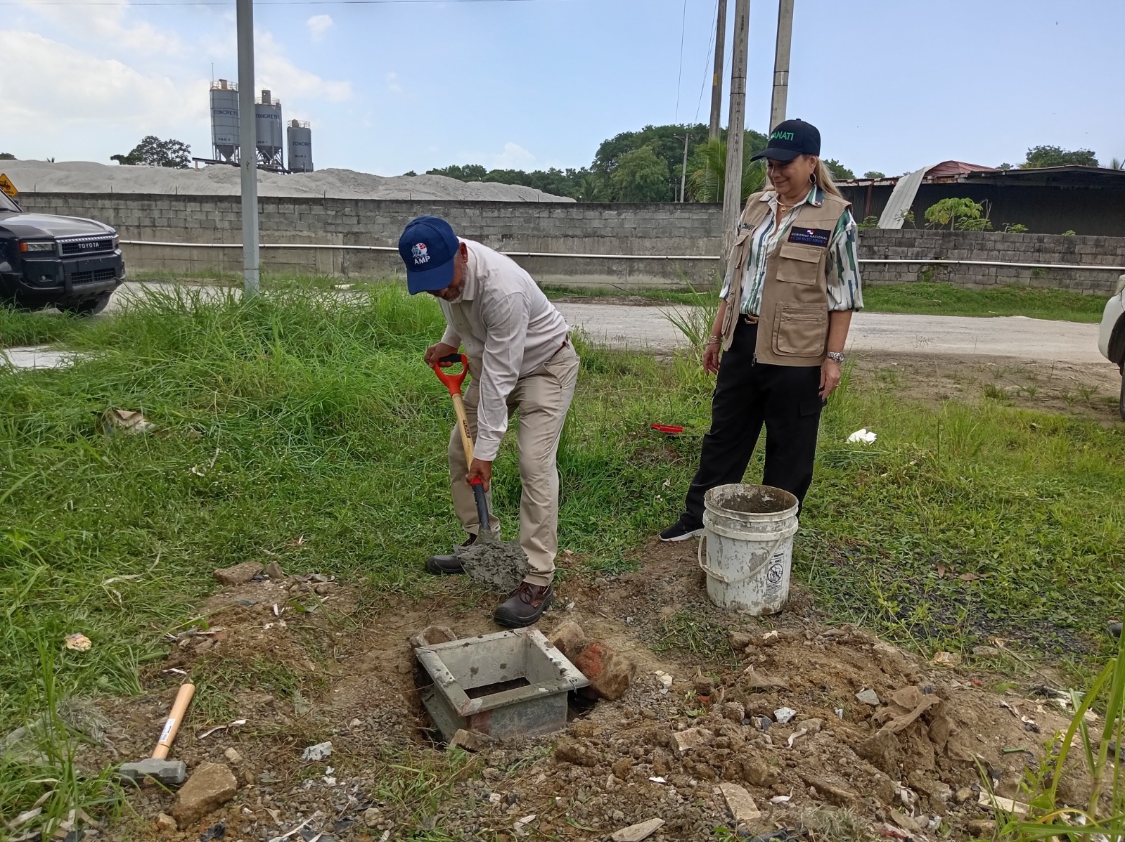
La Autoridad Marítima de Panamá (AMP) y el Instituto Geográfico Nacional “Tommy Guardia”, adscrito a la Autoridad Nacional de Administración de Tierras (ANATI), instalaron en el Embarcadero de Juan Díaz el primer punto de la Red Geodésica de Control Horizontal y Vertical de los Puertos Nacionales, una herramienta que permitirá contar con referencias geoespaciales de alta precisión para la planificación y desarrollo de obras marítimas y portuarias.
La instalación del primer punto geodésico estuvo a cargo de la subadministradora general de la ANATI y directora del Instituto “Tommy Guardia”, Rosario Cárdenas, junto al subdirector de Puertos e Industrias Marítimas Auxiliares de la AMP, Víctor Zamora. Esta iniciativa forma parte del acuerdo de cooperación entre ambas instituciones y busca establecer una base técnica estandarizada para respaldar estudios, diseños y proyectos del sector marítimo nacional.
El proyecto contempla la instalación progresiva de puntos de control geodésico en los principales puertos del país, que servirán como referencia para levantamientos topográficos y batimétricos, estudios de ingeniería, mediciones de calado y procesos de expansión portuaria.
Tomás Álvarez, del Departamento de Ingeniería Portuaria de la AMP, explicó que el acuerdo tendrá una vigencia inicial de cinco años, prorrogables, y permitirá disponer de información técnica confiable para apoyar la ejecución de proyectos en puertos, muelles, accesos viales y otras obras vinculadas a la actividad logística.
Además, la red estará disponible para desarrolladores, empresas constructoras, consultores, operadores logísticos e inversionistas que requieran estos datos para la planificación y ejecución de sus proyectos.
Como parte del acuerdo interinstitucional, la AMP, la ANATI, el Ministerio de Relaciones Exteriores y el Servicio Nacional Aeronaval (SENAN) trabajarán conjuntamente en el mantenimiento de los monumentos que conforman la línea base del mar territorial panameño, fortaleciendo la gestión y protección del espacio marítimo nacional mediante mediciones estandarizadas y verificables.
Durante el acto, Rosario Cárdenas destacó que la implementación de esta red representa un avance tecnológico para la modernización del Estado, al facilitar el acceso a información especializada sobre cartografía, niveles de marea y calados de embarcaciones, elementos fundamentales para la toma de decisiones y el desarrollo de proyectos estratégicos.
La directora del Instituto Tommy Guardia señaló que la iniciativa, que inició en el Embarcadero de Juan Díaz, contempla su extensión a más de 20 puertos menores del país, integrando progresivamente nuevos puntos de referencia que contribuirán a mejorar la coordinación institucional y la planificación territorial.
The Panama Maritime Authority (PMA) and the National Geographic Institute “Tommy Guardia,” an agency of the National Land Administration Authority (ANATI), have launched the first control point of the National Ports Horizontal and Vertical Geodetic Control Network at the Juan Díaz Pier. The initiative will provide highly accurate geospatial reference benchmarks to support the planning, design, and execution of maritime and port infrastructure projects throughout the country.
The inaugural geodetic control point was installed by Rosario Cárdenas, Deputy Administrator General of ANATI and Director of the Tommy Guardia Institute, together with Víctor Zamora, Deputy Director of Ports and Auxiliary Maritime Industries at the PMA. The project forms part of a strategic cooperation agreement between both institutions to establish a standardized technical framework that will underpin engineering studies, infrastructure design, and future development across Panama’s maritime sector.
The initiative calls for the progressive installation of geodetic control points at the country’s principal ports, creating a unified network of permanent reference benchmarks for topographic and bathymetric surveys, engineering assessments, vessel draft measurements, and port expansion projects.
Tomás Álvarez, of the PMA’s Port Engineering Department, explained that the agreement will remain in force for an initial five-year term, with the option of renewal. The partnership will provide reliable technical data to facilitate the execution of projects involving ports, piers, roadway access, and other infrastructure essential to Panama’s logistics and maritime industries.
Beyond supporting government initiatives, the geodetic network will also serve developers, engineering firms, construction companies, logistics operators, consultants, and investors by providing access to standardized geospatial information for the planning and implementation of infrastructure projects.
As part of the interinstitutional agreement, the PMA, ANATI, the Ministry of Foreign Affairs, and the National Aeronaval Service (SENAN) will jointly oversee the maintenance of the monuments that define the baseline of Panama’s territorial sea. This collaborative effort will strengthen the management and protection of the country’s maritime domain through standardized, verifiable, and internationally recognized geodetic measurements.
During the ceremony, Rosario Cárdenas emphasized that the implementation of the network represents a significant technological milestone in the modernization of public administration. By expanding access to specialized cartographic information, tidal data, and vessel draft measurements, the initiative will enhance technical decision-making while supporting the successful delivery of strategic infrastructure projects.
Cárdenas further noted that, following the installation of the first control point at the Juan Díaz Pier, the network will be progressively expanded to more than 20 minor ports across the country. The addition of these new reference points will strengthen institutional coordination, improve territorial planning, and reinforce the technical foundation required for the sustainable development of Panama’s maritime infrastructure.